Cadastral Location Report for Buildings (ICUC)
The report the Spanish land registry asks for to update a deed with what is already built.
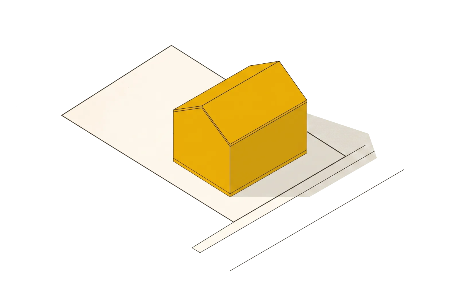
The Informe Catastral de Ubicación de Construcciones — cadastral location report for buildings, ICUC for short — answers one question, and answers it with coordinates: do the buildings on this property sit inside its cadastral plot? We issue it ourselves, from our own topographic survey and through the electronic office of the Catastro, Spain's cadastre, and it is the document the land registry asks for when a deed has to be brought into line with what is actually built.
Almost nobody looks it up by name. People arrive here because a notary or a registrar has asked for it and there is a signing date waiting.
When it is required
Whenever a deed is amended to change the description of the property or to declare the age of the works: a building that has stood for decades and was never declared, an extension that does not appear on record, a garage or a pool that exist on the ground but not on paper. If what changes is the description of what is built, the ICUC belongs in the file.
This is the full route the document takes. It is worth knowing, because it explains the timescales:
- We survey the property, draw up the report and issue it through the Cadastre's electronic office.
- The owner takes it to the notary and the deed is updated.
- The notary sends the deed to the land registry.
- The registry passes the confirmed amendment back to the Cadastre.
What our service covers
We start on site. We carry out a planimetric survey with centimetre-accurate GNSS equipment and, where the plot or the roof calls for it, with a drone. One morning on the property is normally enough.
Those coordinates give us the huella a rasante — the ground-level footprint of the buildings, the plan as it rests on the ground. Porches, terraces and the pool count when they sit at ground level; balconies, closed overhangs and anything not bearing directly on the ground do not. That footprint becomes the building's GML file, in the INSPIRE format the Cadastre's electronic office accepts; with it we draw up the georeferenced coordinate report and issue the ICUC.
We do that part with our own software: gml-catastro.es is our platform for converting and validating cadastral files, and it explains in detail what a building's GML file must contain and what it must leave out. You do not need to read any of it to hire us; it is there if you want to see the workings.
Timescales and paperwork
The visit takes one morning — we set out from Altea, so anywhere in the Marina Baixa or the Marina Alta it fits into half a day — and the report is usually ready within two working days. We need no documents from you: no deed, no old plans, no receipts. Just access to the property.
The fee has two parts: the survey, which depends on the size and complexity of the house, and drawing up and issuing the report. We agree it before starting, with the plot in front of us.
The ICUC rarely travels alone. It is usually commissioned alongside the certificado descriptivo y de antigüedad, the certificate that establishes what is built and since when; both feed the same deed.
What happens if it comes back negative
An ICUC does not come back right or wrong. It comes back positive or negative, and both are results.
Positive means the building and its outbuildings fall inside the current cadastral plot. The word current matters: that plot may be drawn accurately or it may not, and the report passes no judgement on it.
Negative means part of what is built falls outside the plot. It sounds worse than it is. In most cases the house is not encroaching on a neighbour — the cadastral mapping is simply carrying forward an imprecise outline drawn decades ago. Nothing bad follows from it, but the notary or the registrar will then ask for an IVG, a graphic validation report establishing the real boundaries of the plot and showing that the building stands within them.
How it differs from the IVG
The two are constantly confused, because both end in a cadastral report full of coordinates. The difference is what they look at:
- The ICUC looks at the building and checks whether it fits inside the plot as the Cadastre has drawn it.
- The IVG looks at the plot: it validates its geometry, its boundaries, its shape and its area.
There is a practical difference worth knowing in advance. An IVG now always comes back positive — negative ones have not been issued for some time — but in exchange it requires the boundaries to be adjusted with the neighbours affected, which brings third parties into the process. The ICUC involves nobody but your own property.
Frequently asked questions
Who asks for the ICUC?
The Registro de la Propiedad, the Spanish land registry, whenever a deed is amended to change the description of a property or to declare its age. It is not something an owner goes looking for: most people first hear of it when the notary or the registrar asks for it.
What paperwork do I need to provide?
None. We take the measurements, draw up the report and issue it ourselves. All we need is access to the property on the morning of the survey.
How long does it take?
The site visit takes one morning and the report is usually ready within two working days. What sets the pace of the whole operation afterwards is the notary-registry chain, not the ICUC.
What if the report comes back negative?
That is not a failure in itself. It means the building falls outside the plot as currently drawn by the Cadastre, and that drawing is often the inaccurate part. It is then paired with an IVG, which establishes the real boundaries and shows that the plot does contain the building.
Do you have to visit the property?
Always. The ICUC relies on coordinates measured on site with GNSS equipment or a drone, not on what an aerial photograph appears to show.