Graphic Validation Report (IVG) and plot georeferencing
The report that fixes, in coordinates, where your boundaries actually run.
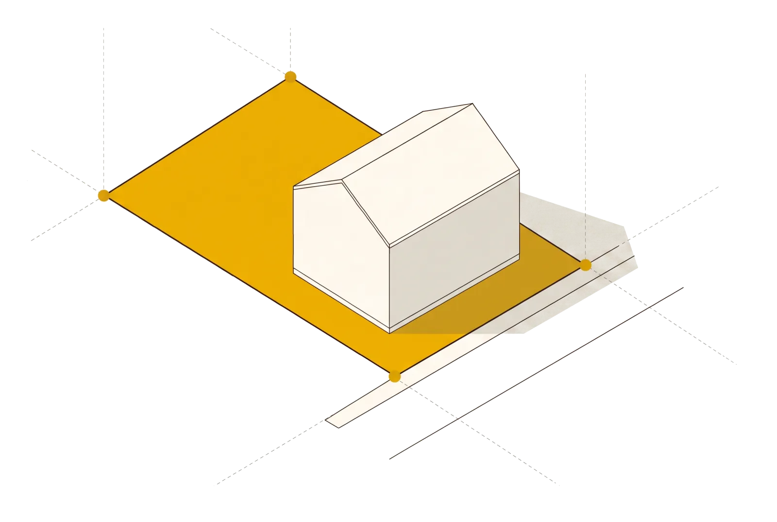
The Informe de Validación Gráfica — graphic validation report, IVG for short — answers a different question from the ICUC. It does not look at the building; it looks at the ground. It establishes in coordinates where the boundaries of the plot run — its shape, its area and its corner points — and validates before the Catastro, Spain's cadastre, that this geometry fits against the neighbouring plots without overlapping them or leaving gaps.
For most people it arrives as a request, from one of two places: a notary who has found discrepancies while preparing a sale, or a town hall asking for the geometry of the plot to be clarified before a project can go ahead. That is the commonest route, but not the only one. It is also commissioned in advance, when it is the owner who is about to change the property — divide it, merge it, split it, register it for the first time. Nobody springs it on you there; the law requires it from the outset. The grounds are a closed list, and they are in the article below.
When it is required
The Ley Hipotecaria, Spain's land registry act, settles this in two articles worth knowing, because between them they explain both the grounds and the timescales.
Article 9.b lists the operations for which a georeferenced graphic representation is mandatory, and the list is long: first registration of a property, parcelling, re-parcelling, land consolidation, division, subdivision, merger, aggregation, compulsory purchase and boundary demarcation. If you change the shape of a property, or register it for the first time, the geometry has to be supplied.
Article 199 is the procedure, and it runs along two routes depending on which drawing is supplied:
- Under 199.1 when the cadastral graphic representation is enough — that is, when the plot as the Cadastre has drawn it already matches what is on the ground.
- Under 199.2 when the owner states that it does not match and supplies an alternative graphic representation. This is the common case on older properties: inherited boundaries, measurements taken before GPS, plans that came out of a family division.
That second route is where most of the work goes. The alternative graphic representation is the georeferenced plan that replaces the cadastral drawing when the latter does not reflect the ground, and it travels alongside the georeferenced coordinate report, the schedule of corner points that ends up attached to the deed.
What our service covers
We start on site. We survey the boundary with high-precision GNSS equipment and, depending on what the terrain calls for, with a LIDAR scanner or a drone. On an open plot one morning is enough; on one with a steep drop, heavy vegetation or boundaries that are hard to walk, not always.
Those coordinates build the geometry of the plot as a GML file, which is then composed against the neighbouring plots until the whole set closes. We do that part with our own software: gml-catastro.es is our platform for converting, validating and composing cadastral files. You do not need to read any of it to hire us; it is there if you want to see the workings.
We deliver two documents: the IVG, which we issue ourselves through the Cadastre's electronic office — just as we do with the ICUC — and the georeferenced coordinate report for the plot, listing the corner points in UTM ETRS89, the perimeter and the calculated area. Those are the two papers the notary and the land registry expect to receive.
Timescales, paperwork and where we work
As with the ICUC: the visit takes one morning and the report is usually ready within two working days. We need no documents from you. Just access to the property and, where possible, a boundary we can walk.
The fee depends on the plot: its size, how complex its geometry is, the lie of the land and whether the boundary can be walked unobstructed. A rectangular urban plot and a terraced hillside finca with dry-stone walls are not the same job, even if they measure the same. We agree it before starting.
The survey is done in person, so location matters: we work in Altea and across the rest of the Marina Baixa and Marina Alta — Alfaz del Pi, La Nucía, Polop, Calpe, Benissa, Moraira, Finestrat, Callosa d'en Sarrià — the stretch where we can be standing on your plot without travel weighing on the fee.
The neighbours become part of the process
This is the part worth understanding before starting, because it is what can stretch the timescales and it is not in our hands.
Since 12 March 2025 the Cadastre's electronic office no longer certifies negative reports. That sounds like good news, and in part it is — an IVG now always ends up positive — but the reason is that the burden has shifted onto the surveyor: where the geometry overlaps a neighbouring plot or leaves a gap between them, the boundaries affected have to be reorganised, like a puzzle, until every piece fits while the outer perimeter of the whole stays untouched.
And adjusting a neighbour's boundary means the neighbour finds out. Under the article 199 procedure the registrar notifies the registered owners of the adjoining plots, who have twenty days to object; if personal notification does not reach them after two attempts, it is published in the state gazette. Objections do happen.
An objection does not close the file. The act expressly provides that an objection from someone who cannot show they are the registered owner of an adjoining plot does not necessarily lead to refusal: the registrar decides with reasons, forming a judgement on the identity of the property. But it is a procedure with third parties inside it, and that shows up in the calendar.
How it differs from the ICUC
The two are constantly confused, because both end in a cadastral report full of coordinates. The difference is what they look at:
- The ICUC looks at the building and checks whether it fits inside the plot as the Cadastre has drawn it.
- The IVG looks at the plot: it validates its geometry, its boundaries, its shape and its area.
That is why they are often commissioned together, and in a particular order: when an ICUC comes back negative — the building falls outside the plot as drawn — what follows is an IVG showing that the real boundary lies elsewhere and that the building stood inside it all along.
Frequently asked questions
Who asks for an IVG?
It depends how you get here. When it turns up unannounced, it is the notary who calls for it, on finding discrepancies while preparing a sale — the area in the deed does not match the Cadastre, or the boundaries do not line up — or the town hall, faced with a project on a plot of doubtful geometry. When it is commissioned in advance, it is the owner who asks for it, because they are about to divide, merge or split the property and the law will require it anyway.
Can it come back negative?
Not any more. Since 12 March 2025 the Cadastre's electronic office no longer certifies negative reports: if the geometry overlaps the neighbouring plots or leaves a gap between them, the surveyor is required to reorganise the boundaries affected until everything fits. An IVG now always comes back positive, but the work behind it is greater.
Do the neighbours have to be told?
Yes. Under the procedure of article 199 of the Ley Hipotecaria, Spain's land registry act, the registrar notifies the registered owners of the adjoining plots, who then have twenty days to object. If personal notification fails after two attempts, it is published in the state gazette. This is the most important practical difference from the ICUC: third parties are involved.
What if an adjoining owner objects?
An objection does not mean refusal. The act is explicit that an objection from someone who cannot show they are the registered owner of an adjoining plot does not necessarily lead to refusal of registration; the registrar decides with reasons, forming a judgement on the identity of the property.
What paperwork do I need to provide?
None. We take the measurements, do the calculations and issue the documents ourselves. All we need is access to the property and, as far as possible, a boundary we can walk.